

NASSAU, The Bahamas — Disaster Risk Managers at the Disaster Risk Management Authority along with meteorologists and forecasters at The Bahamas Department of Meteorology Saturday (October 19), advised residents in the southeast Bahamas and the Turks and Caicos Islands to begin making preparations for possible hurricane, or strong Tropical Storm conditions beginning Saturday night and Sunday morning as a result of the approach of Hurricane Oscar.
On its latest projected path, the centre of Oscar will pass over Inagua early Sunday morning. Residents in Matthew Town will begin to experience strong Tropical storm force winds for about one hour — from 10am-11am. Thereafter, they will experience tropical storm force winds until about 5pm Sunday. Residents will also experience heavy showers and thunderstorms which could include tornadic activity Saturday night.
Tropical Storm conditions could include winds in excess of 50 miles per hour, and up to 70 miles per hour, accompanied by heavy rainfall and thunderstorms that could include tornadic activity and flooding. Rainfall amounts of 2-to-4 inches with isolated amounts of up to 6 inches, are expected in these islands, causing localized flooding.
Dangerous storm surge between 2 and 4 feet is expected to produce significant flooding in the Turks and Caicos and Inagua. Storm surge will be accompanied by large and destructive waves near the coast.
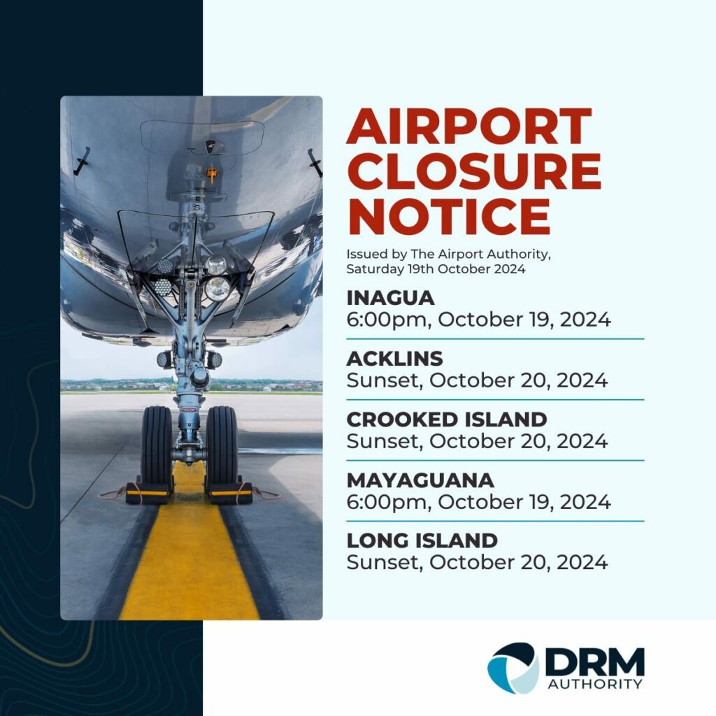
The southeast Bahamas is comprised of islands such as Mayaguana, Crooked Island, Acklins, Long Cay, Ragged Island and Inagua. The Bahamas Department of Meteorology has remit for the Turks and Caicos Islands.
A Hurricane Watch remained in effect for the above-mentioned islands as of late Saturday evening. A Hurricane Watch means that hurricane conditions could be experienced on these islands within 36 hours. At 8pm Saturday, the centre of Hurricane Oscar was located about 135 miles east-northeast of Matthew Town (Inagua), or about 113 miles southeast of Mayaguana, or about 449 miles southeast of New Providence. Maximum sustained winds have increased to near 85mph with higher gusts.
Oscar is moving toward the west near 10mph. This motion, with a gradual slowdown and turn towards the west-southwest, is forecast for Saturday night and Sunday. A sharp turn to the northeast is anticipated by Monday.
Met. Department officials say a “little strengthening” is possible tonight, but that gradual weakening is expected to begin by Sunday night and Monday.
The rapidly-developing storm went from a Disturbance late Friday night, to a Tropical Storm early Saturday morning and into a Category I Hurricane by Saturday afternoon.
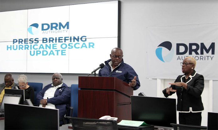
Managing Director at the Disaster Risk Management Authority, Mr. Aarone Sargent, said the Authority, working in collaboration with local Incident Command Centres and Disaster Risk Management Consultative Committees on the ground in the various islands, stands ready to respond to and mitigate any challenges that may occur on the ground.
He announced that the National Disaster Emergency Operations Centre (NDEOC), was partially activated at 8pm Saturday night to begin round-the-clock operations with the respective Incident Command Centres in the southeast Bahamas that have all been “fully activated,” and that shelters in the respective islands are in preparation mode to receive any potential shelterees.
“All of the Incident Command Centres are now operational which means that the Administrator, who is the lead for the DRM Authority on the ground, and his team of representatives from the local Disaster Risk Management Consultative Committee, are present.
“As it relates to any other Islands, all Family Island Administrators in the southern Bahamas are directed to make their last preparations as conditions are expected to worsen late Monday night into early Tuesday morning,” Mr. Sargent added.
(BIS Photos/Patrice Johnson)


